

On the road again...

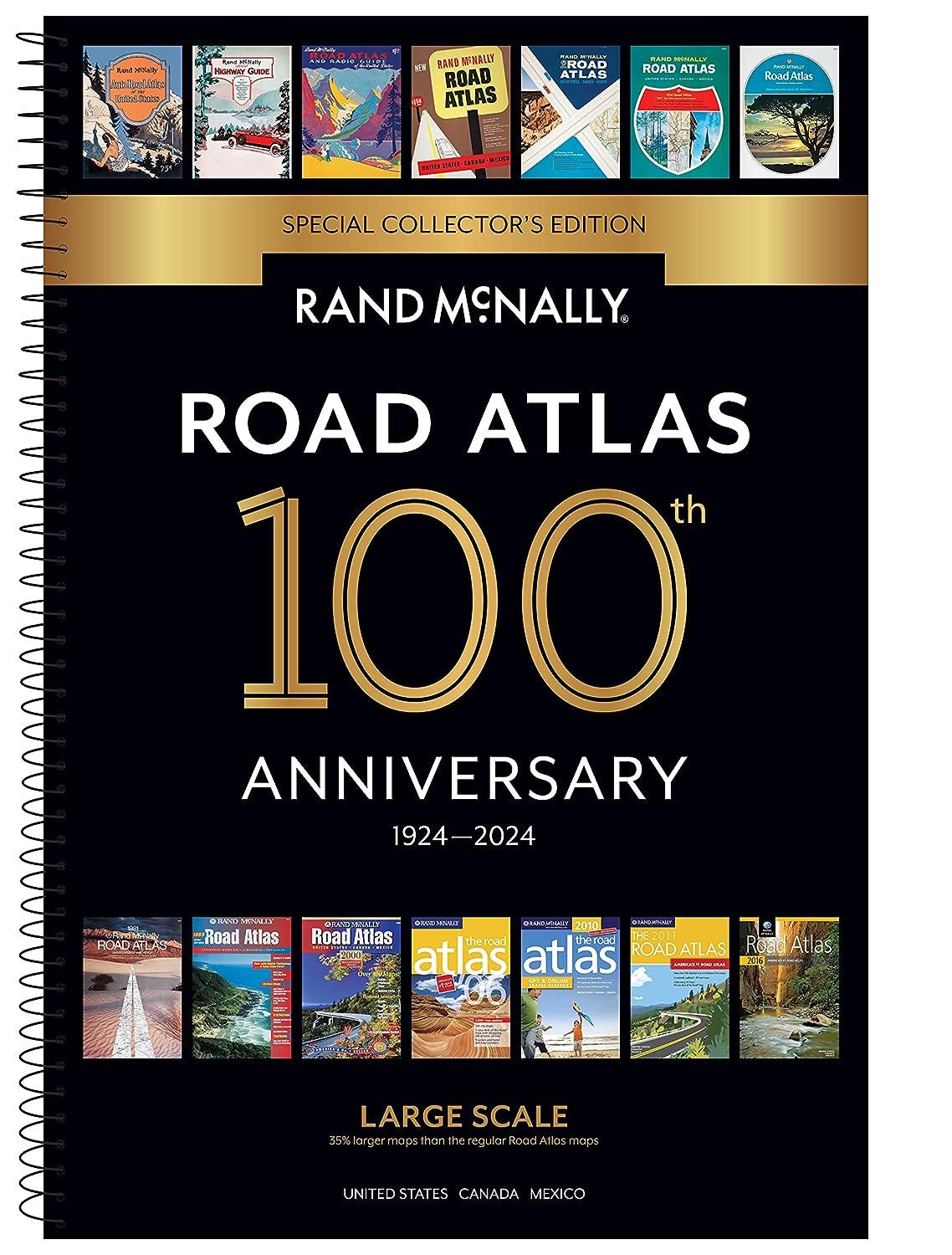
I recently purchased the 2024 Rand McNally Road Atlas. It has been a long time since I have owned or used a physical road atlas. When my paper atlas arrived in the mail my husband loudly scoffed, “Why on earth did you order a road atlas?” It was as if he was asking why did I want a pet dinosaur.
It’s true. We usually do all our trip planning on line but I just felt like I wanted to hold in my hands a book of maps. I have no regrets about this purchase. I find the same joy from looking at this collection of maps even when I am not planning a trip that I do from reading a cookbook when I am not planning on cooking any of the recipes.
I have always loved maps. I remember a trip our family took to Florida when I was in elementary school. I got a state map of Florida, glued it to a piece of poster board, cut out around the state’s shape and then tracked our travels down one side and up the other side of the Sunshine State. I think I inherited my love of maps from my father as he always had a road atlas handy. He used it to plan trips and also to locate the hometowns of some of his old buddies from the Army as well as relatives living here and there.
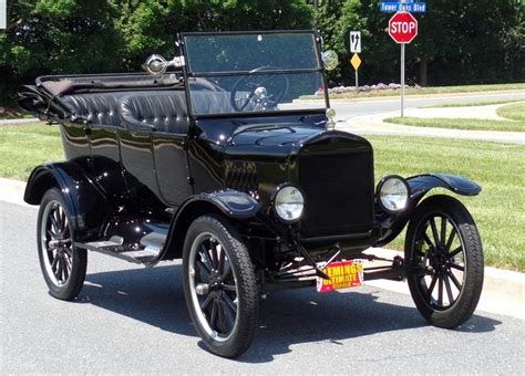
My new Road Atlas tells me that it’s been published since 1924 when it was known as Auto Chum. When that first road atlas was published, gas averaged 21 cents per gallon and roads were indicated as paved, gravel or unpaved (I think that meant dirt). There were no interstate highways—those first began in 1956—but highways across the country had names like the Lincoln Highway and the Dixie Highway. There were about 15 million cars in 1924 compared to the 287 million cars on today’s roads. The early cars only came in very dark colors, most often black. The most popular car color today is white, with the color silver trailing only slightly behind. All these handy facts came right out of my new Road Atlas.
Why the name “Atlas”?
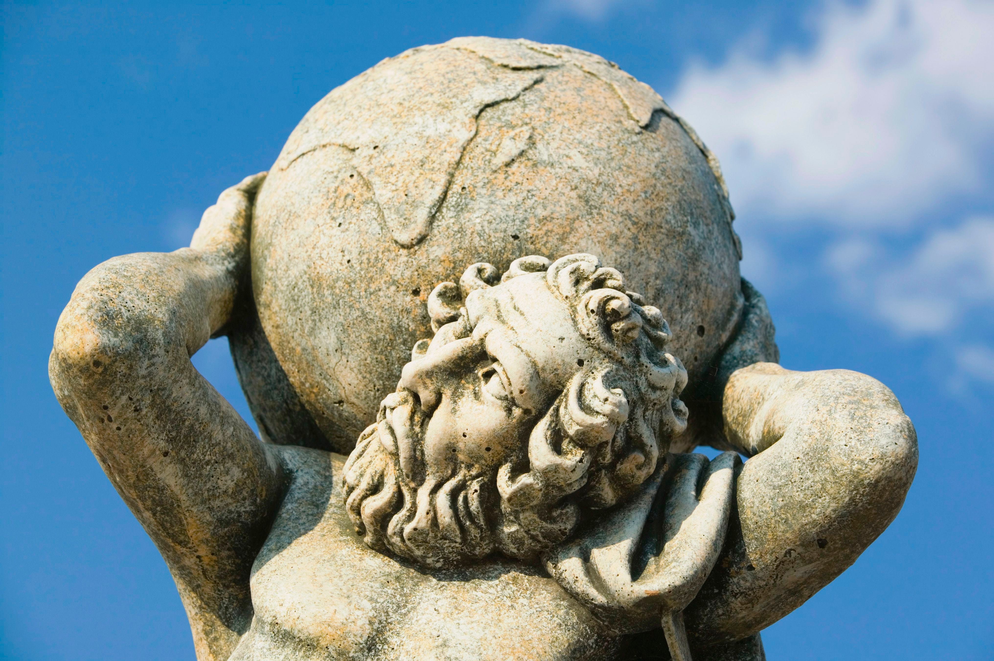
In Greek mythology, Atlas is a Titan condemned to hold up the heavens or sky for eternity. So how did we get from holding up the sky to a collection of maps?
This happened in the 16th century when Flemish geographer Gerardus Mercator published his collection of maps and named it in honor of the mythological Atlas. It makes sense when you look at the sculpture above and see Atlas holding up the world. My road atlas only includes the world of the United States and Canada but that is still quite a lot of territory.
A good magnifying glass helps when looking at maps, especially after your eyes reach the seven decades marker. It’s actually a lovely way to spend an afternoon: a cup of coffee (yes, usually soon cold), a magnifying glass and a paper atlas.
Yes, you can find excellent maps on-line and your iPhone can guide you well on most any road trip, but it will never be as lovely an afternoon as one spent with your brand new Rand McNally Road Atlas.
Oh, the places one can go, the tiny towns one can discover, the travels one can dream. I love my pet dinosaur.

I also LOVE maps: paper, digital, road maps, nautical. When I read books, I’m annoyed they don’t put maps of the places they’re writing about. So I Google them on my phone while I’m reading so I understand what they’re talking about. Remember the AAA Triptics? If you had your act together and belonged to AAA, you got a long, skinny, spiral-bound road map so you could flip pages. Backs had points of interest or landmarks. We used to do a 13-mile crew race around Wye Island in the Chesapeake Bay. You got a laminated map. Directions included, “stay starboard by the white house “ or “port around the duck blind,” (which duck blind?). When you saw the place with the sheep, you knew you were on course. Now it’s GPS…but last time we learned the sun blinds the screen and you can’t read those little points, so back to the sheep and the duck blind.
Map lover here, too! Hard to believe that my friend and I drove from the east coast to the west coast in 1997 with just an atlas to guide us!